
Inflight Map is a popular app that displays your airplane's position on a moving map, helping stay informed throughout a flight and plan your activities accordingly. No internet connection is required - though a window seat is highly recommended! Before starting a new journey, simply reset all counters in the app to let it know a new flight is about to begin. Then select origin and destination airports, and you're ready to go! | 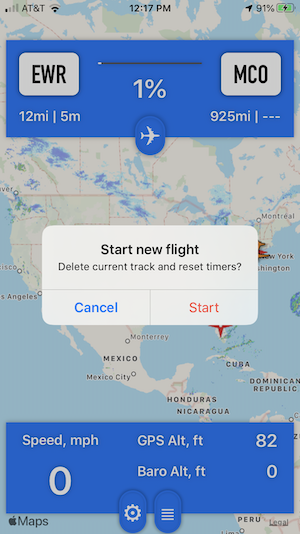 |
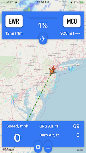 | During the flight app will use internal GPS of iPhone to determine precise position, speed and altitude of airplane. Those parameters plus distance/time to/from origin/destination calculated by app constantly shown on screen. Barometric altitude inside the cabin shown whenever possible. In case Internet connection is available you will have access to:
|
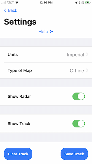
There are two Units of measurement are supported:
There are also two types of maps:
|
 |
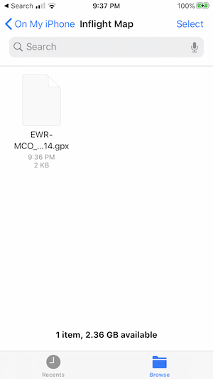
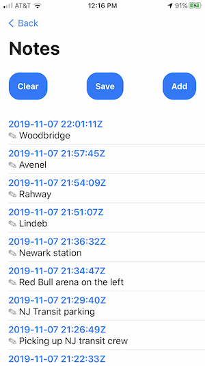 | The app records a log of coordinates, which can be exported as a GPX file for download and later review in Google Earth or any compatible GPX viewer. Additionally, you can add text notes that are exported as a TXT file and automatically linked to their corresponding points in the GPX track. |
Exported files can be forwarded further using default Files app. You can download GPX file generated by app on the flight from Amsterdam to New York here.
|
 |